


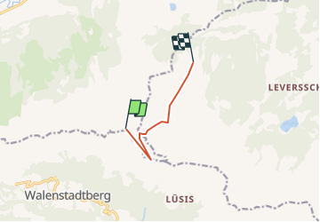

3 km | 3.3 km-effort


User


FREE GPS app for hiking
 SityTrail
IGN / Geographical institutes
SityTrail World
The world is yours!
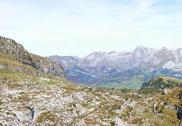
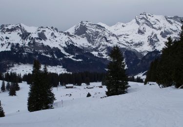
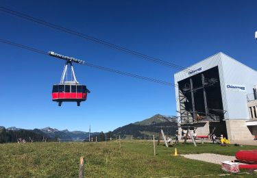
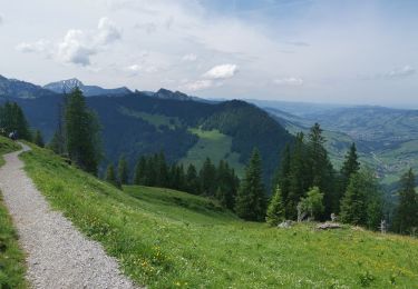
Trail Other activity of 5 km to be discovered at Sankt Gallen, Wahlkreis Toggenburg, Wildhaus-Alt St. Johann. This trail is proposed by jschna.
Mit der Bahn auf den Chäserrugg - wundeerbare Aussicht ins Sarganserland und auf den Säntis (Steinbockkolonie) - der erste Teil ist etwas steil und steinig, dann aber leicht und gut zum Gehen bis zur Gamsalp, wo der Wirt - Dres Forrer die Gäste verwöhnt.
On foot
On foot

On foot
On foot
On foot
On foot
On foot
On foot
Walking